Subject and other useful guides compiled by York librarians & subject specialists
Map Collection
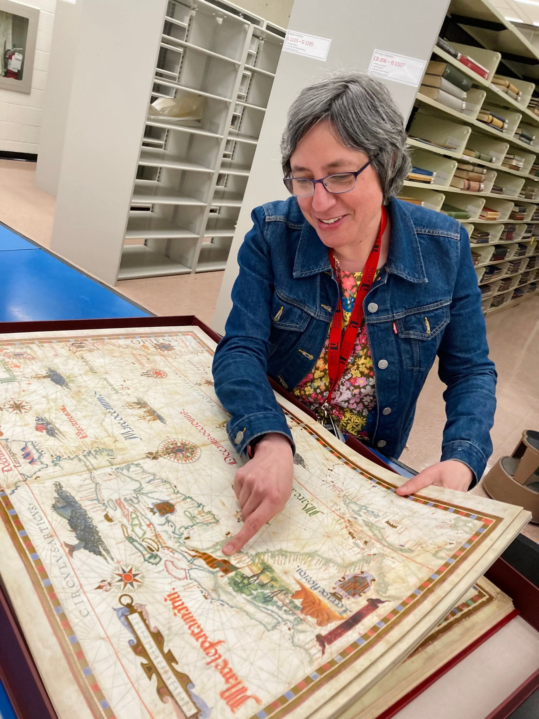
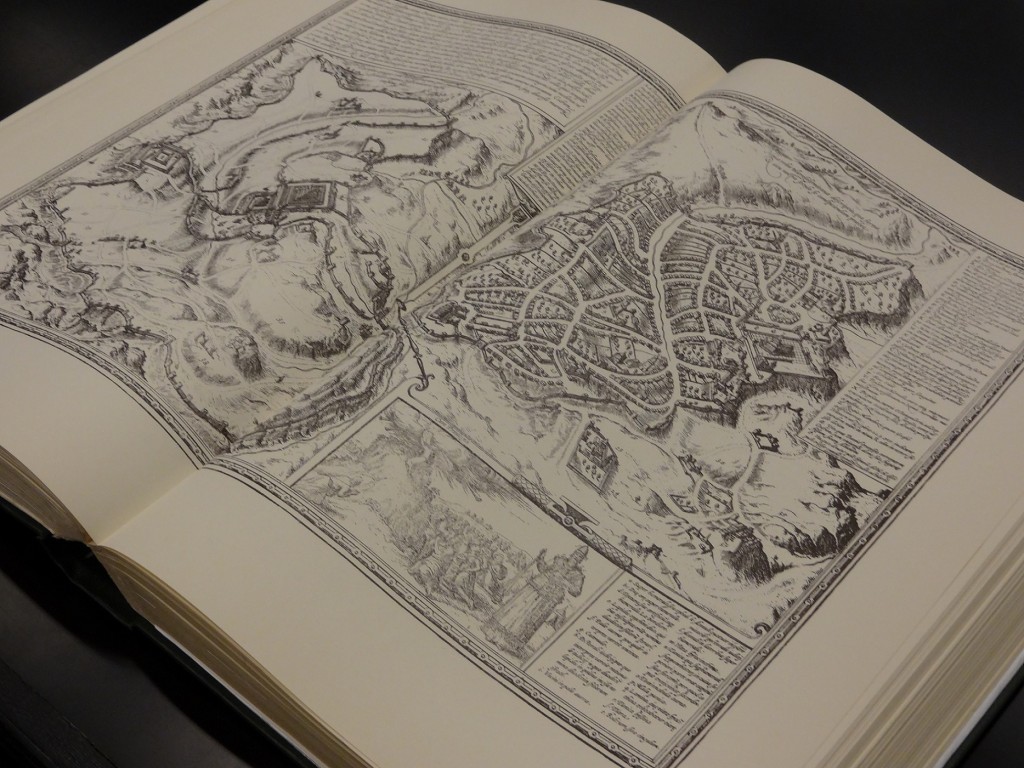
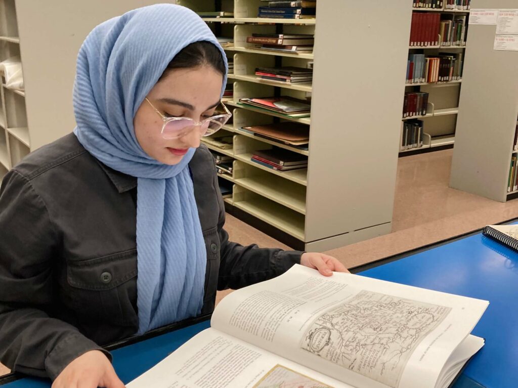
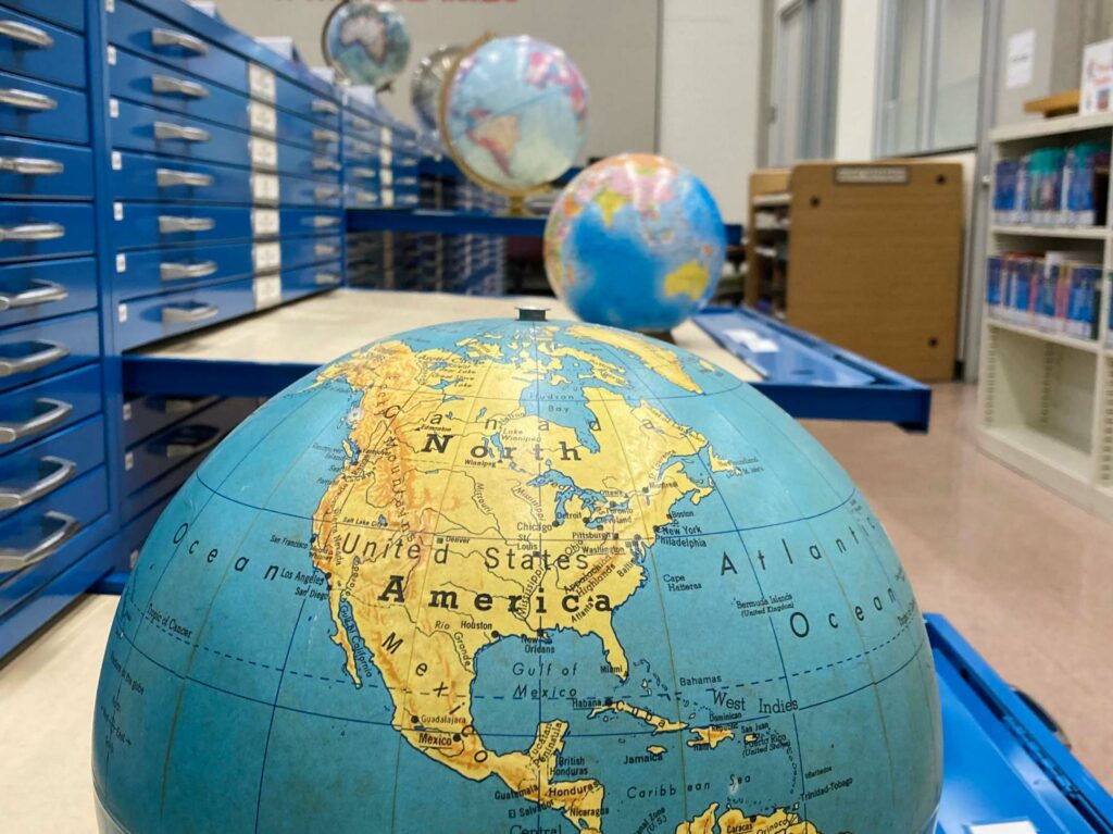
The Map Collection, located in Scott Library, houses 112,000 maps plus a supporting collection of about 6,600 atlases and books, which encompasses gazetteers, geographical dictionaries, bibliographies of maps, material on cartography and geospatial data.
GETTING HELP
For more information regarding the maps, atlases, or geospatial data collections contact gislib@yorku.ca
If you need assistance with accessing or borrowing items from the Map Collection, go to the Scott service desk.
Research & Learn
Connect with our resources and services to get the help you need.
Collection Highlights
List of types of resources found in the Map Collection.
Maps and Atlases Guide
A guide to finding and using maps and atlases at York University.
Geospatial Data & GIS Guide
A guide to finding and using these types of resources.
Land Acknowledgement
First Nations peoples have lived on this part of Turtle Island for millennia, stewarding the land, the water and all that contributes to life in this region. Today, the culture and presence of First Nations, Inuit and Métis peoples enrich the lands and people of this territory where York University is located.
Visit the official webpage to learn more about the cross campus Land Acknowledgment statements.